Techniques
City plan
Copy the prompt or code, then paste it after your own words in Midjourney. How it works →
About
City plan is a detailed representation of urban layouts, depicting the arrangement of streets, buildings, and public spaces within a city. It serves as a blueprint for urban development, guiding infrastructure planning and zoning regulations.
Observations
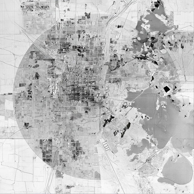
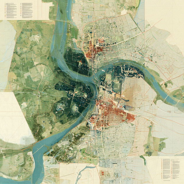
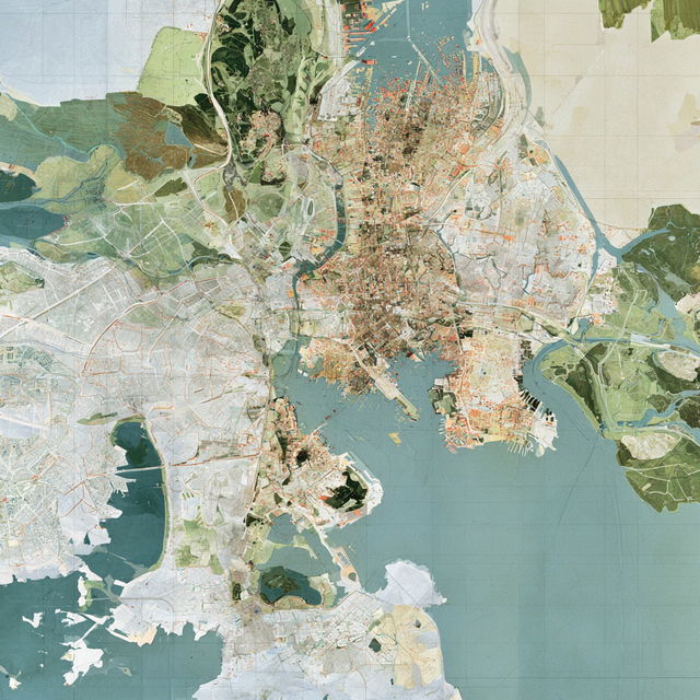
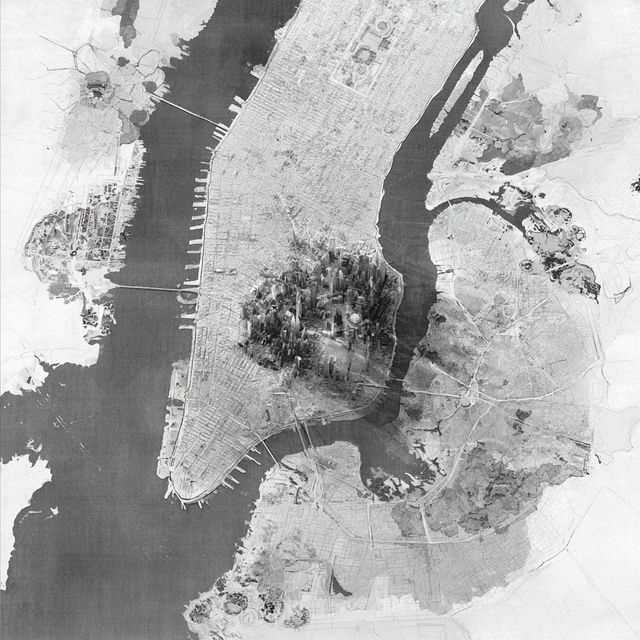
The style combines highly detailed aerial cartography with fine ruled lines, gridded geometry, and densely patterned urban and rural divisions. It alternates muted color washes with stark monochrome map treatments, creating a layered collage-like atlas appearance with flat, illustrative areas and occasional paper-like textural variation.
Look terms
Style qualityDetailed8,113Illustrative2,985
TechniqueFine lines2,687Flat color2,068
Colour schemeSubdued2,732
GenreDocumentary86
ThemeRetro676
MediumCollage313
CompositionGeometric2,386
Colours
Earlier versions
Similar styles


SREF codes
Photographers
Photographers
Photographers
Photographers
Photographers