About
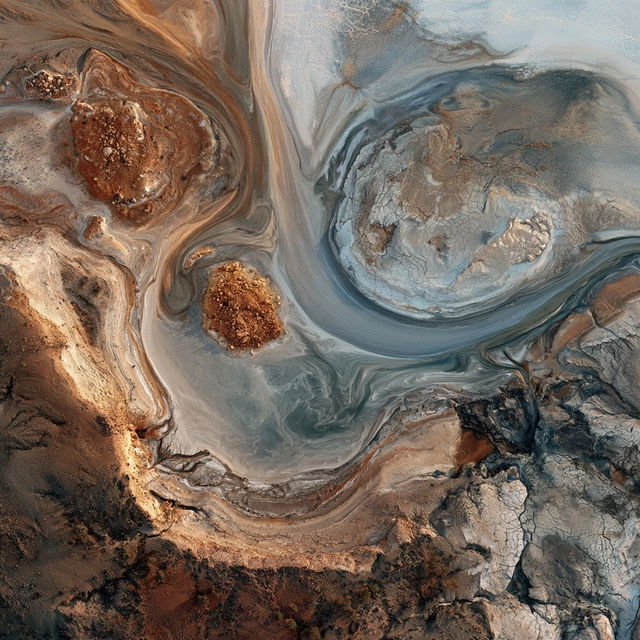
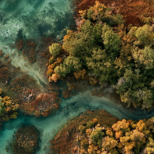
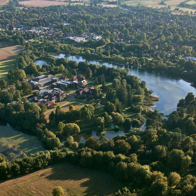
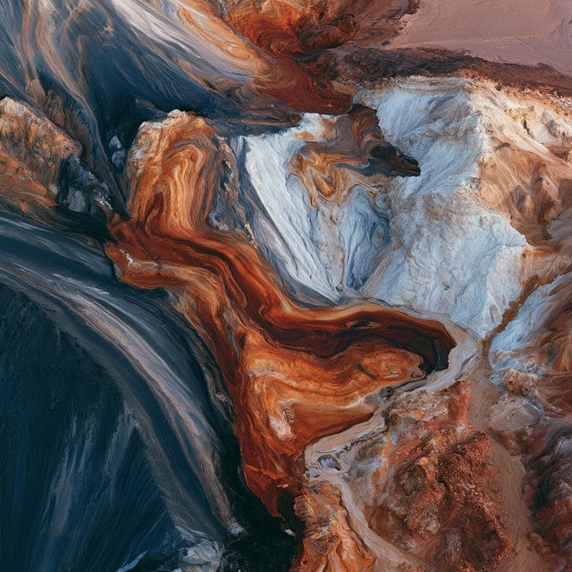
Aerial photography is a technique of capturing images from an elevated position, typically using aircraft, drones, or satellites. It provides a unique perspective of landscapes, urban areas, and natural environments, offering insights into spatial relationships and geographic features that are not visible from the ground. This form of photography has applications in cartography, environmental studies, and urban planning.
Observations
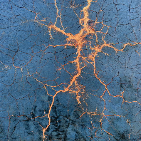
The style combines highly realistic aerial landscape imagery with dramatic, abstract-looking geological textures and flowing mineral patterns. Rich saturated greens, turquoise water, rust, cream, and slate blue are rendered with crisp detail and strong tonal contrast, making natural terrain read almost like sculpted or marbled material.