About
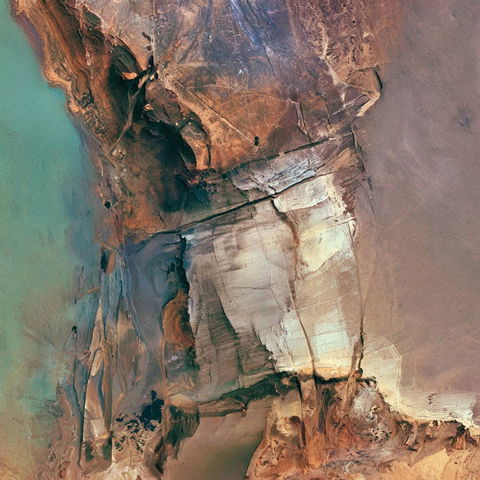
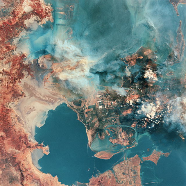
Satellite view is a perspective obtained from satellites orbiting the Earth, capturing detailed images of the planet's surface. These images are used for various applications, including mapping, environmental monitoring, and urban planning. They provide a comprehensive view of geographical features, urban areas, and natural landscapes from a high altitude.
Observations
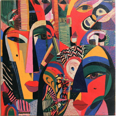
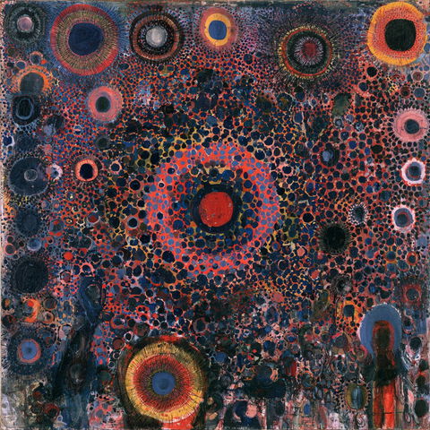
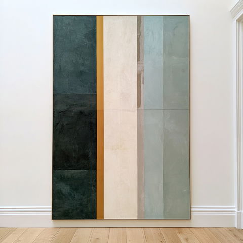
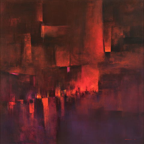
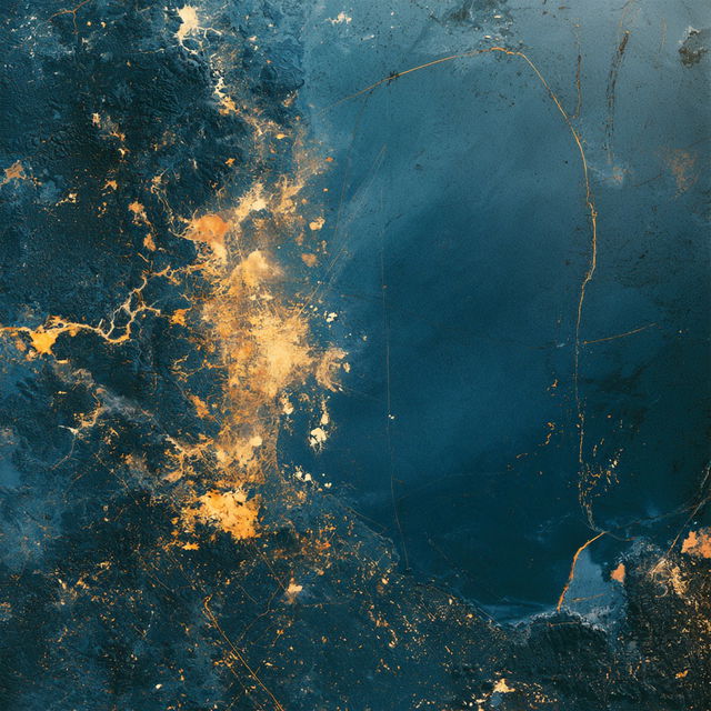
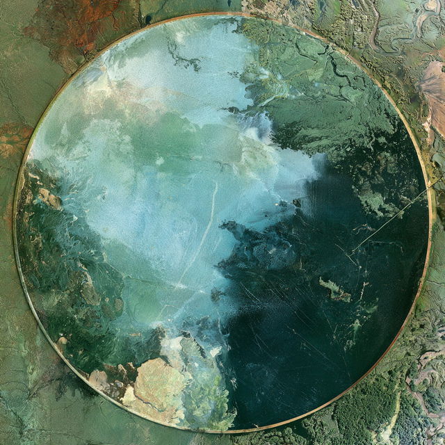
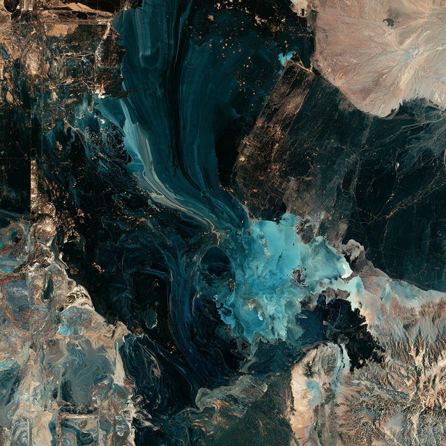
Across all four renders, aerial landscape forms are transformed into dense, abstract compositions with marbled, brush-built surfaces and strongly saturated teal, turquoise, ochre, rust, and cream colors. Coastlines, lakes, fields, and waterways create recurring organic-geometric structures, while high contrast and layered textural marks give the images a surreal, expressive map-like appearance.